

A Beginner's Guide to the River Tyne Path: Newcastle Quayside to Wylam in Three Easy Stages
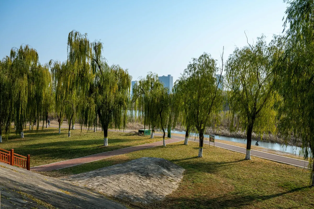
The Tyne stops being a city river remarkably quickly. Walk west from Newcastle's Quayside and within fifteen minutes the bridges are behind you, the banks have gone green, and herons are picking about in the shallows as though the traffic never existed. The full riverside route to Wylam runs to about twelve miles, which is a serious day out for a first attempt. Cut into three stages of roughly five miles, it becomes three gentle walks — and each one ends within a few minutes of a bus stop or a railway station.
Before You Set Off
The route follows the north bank the whole way, which means the water stays on your left as you head west. It is a linear walk, so sort your journey home before you leave the house rather than at the end of the day when your legs have stopped cooperating.
Signage changes as you go. Out of the city you follow the riverside path, then the Wylam Waggonway takes over, and National Cycle Network markers appear alongside the walking signs. Expect company: this is a shared route, busy with cyclists commuting and families out on gravel bikes, particularly at weekends.
Underfoot it is almost entirely flat, with no stiles, no gates to wrestle and nothing you could reasonably call a climb. Trainers are fine in a dry summer; boots or trail shoes are a better bet from October onwards. Carry water and a waterproof, because there are long stretches with nowhere to buy anything. If you are new to longer distances, or managing a heart, lung or joint condition, it is worth a word with your GP before you commit to the full twelve miles.
A few practical extras make a real difference. Pack a small rucksack rather than a shoulder bag, so your hands are free and your weight is balanced. Bring a charged phone — signal is patchy in the wooded sections — and a paper map or downloaded offline route just in case. If you are walking in winter, remember that the riverside path can be muddy and the light fades early; a head torch is a sensible precaution even on a short stage. Finally, tell someone your plan. It is a popular route, but it is always wise to let a friend know where you are going and when you expect to be back.
Stage 1: Newcastle Quayside to Newburn
Start anywhere along the Quayside. Central Station is a ten-minute walk away if you are arriving by train, and the Metro puts you within easy reach of the river too. Head west under the Tyne Bridge, the Swing Bridge, the High Level, the King Edward VII and the Redheugh, and you have already done the most photographed mile of the route.
After that the character shifts. Around Elswick and Scotswood the path threads between business parks and the backs of industrial units, with the river occasionally slipping out of sight. It is the least beautiful section, and it is also short — twenty minutes or so of tarmac and you are out the other side. Keep an eye out for the remains of old staiths and the occasional piece of public art, which hint at the river's working past.
The surface is smooth almost throughout, which makes this the fastest of the three stages. You reach Newburn and the Tyne Riverside Country Park, where there are picnic benches, toilets and space to sit down properly. Newburn village, a few minutes up the bank, has a couple of pubs and frequent buses back into Newcastle. If you have time, the country park itself is worth a wander — it has a small visitor centre and a network of short trails through the floodplain meadows.
Timing: allow 1 hour 45 minutes to 2 hours 15 minutes at an easy pace.
Stage 2: Newburn to Wylam on the Waggonway
From Newburn, pick up the Waggonway where it leaves the riverside. This was the old horse-drawn line that carried coal down to the staiths on the Tyne, and you can still read the shape of it in the embankments and cuttings. Now it is a broad, tree-lined path, gently graded, climbing away from the river through Wylam Wood before dropping into the village.
The surface changes here. Compacted gravel mostly, with tree roots pushing through and patches that hold water well into the spring. After heavy rain, expect a few muddy sections, though nothing that requires more than careful footwork. The climb is so gradual that you barely notice it, and the reward is a lovely stretch of woodland with bluebells in May and a canopy that offers welcome shade in high summer.
About halfway along, you pass the old Isabella Colliery site and a series of information boards that tell the story of the waggonway and the coal trade that shaped this valley. It is a good place to pause, catch your breath and appreciate how much of this landscape was built on industry that has now vanished.
Wylam itself is a handsome village with a couple of good cafes, a pub and a shop. The station is right by the river, and trains run regularly back to Newcastle. If you have energy left, a short walk along the riverbank towards Hagg Bank will take you to the remarkable Wylam Bridge — an early iron bridge that once carried the waggonway across the Tyne. It is a peaceful spot, often with kingfishers flashing along the water.
Timing: allow 1 hour 45 minutes to 2 hours 15 minutes at an easy pace.
Stage 3: Wylam Riverside Loop
If you want a third gentle walk without retracing your steps, stay in Wylam and follow the riverside path east towards Hagg Bank and the old iron bridge. This short loop is about two miles, completely flat, and takes you through a lovely stretch of riverside woodland. The bridge itself is a remarkable piece of engineering — built in 1876 to carry the waggonway across the Tyne — and the views from it are superb.
From the bridge, you can continue a little further along the south bank to Ovingham, where there is a pretty church and a riverside meadow. The whole loop can be done in under an hour, making it a perfect leg-stretcher if you have arrived by train and want a taste of the river without committing to a longer walk. It also makes a pleasant end to the full route: after two stages of walking, a gentle potter around Wylam is a fine way to finish.
Timing: allow 45 minutes to 1 hour at an easy pace.
Wildlife and What to Look For
The Tyne valley is a surprisingly rich corridor for wildlife. Herons are common, standing motionless in the shallows or flapping heavily upstream. In spring and summer, look for sand martins nesting in the sandy banks near Newburn, and listen for the sharp call of a kingfisher as it darts low over the water. Cormorants perch on the old staiths, wings spread to dry, and goosanders and goldeneye visit in winter.
The woodlands along the Waggonway are alive with birdsong in May, and if you are quiet you may spot roe deer at dawn or dusk. Otters have returned to the Tyne in recent years, though they are shy and mostly nocturnal. Even if you see nothing more exotic than a moorhen, the simple pleasure of walking beside moving water, with the city slipping away behind you, is reward enough.
Refreshments and Facilities
Facilities are sparse along the middle sections, so plan ahead. Newcastle Quayside has plenty of cafes and shops. Newburn has the country park toilets and a couple of pubs in the village. Wylam has a village shop, a cafe and a pub, all within a few minutes of the station. Between Newburn and Wylam there is nothing, so carry what you need.
Public transport is your friend on this route. Buses run frequently from Newburn to Newcastle, and Wylam has a railway station on the Tyne Valley Line with regular services to Newcastle and Hexham. If you are doing the walk in stages, you can leave a car at either end or simply use the train to return to your starting point.
The Bottom Line
This is one of the most accessible long-distance walks in the north-east. It is flat, well-signposted and broken up by regular transport links, which makes it ideal for beginners, families and anyone building up their walking fitness. Take your time, enjoy the changing character of the river, and do not be surprised if you find yourself planning the next stage before you have even finished the first.
Photo: Bingqian Li / Pexels